Chart Plotter
Software for Windows 8/10/11 £69.95 Now with updated charts for 2025
go to bottom of the page to purchase
We are pleased to be able to offer an excellent charting package, including a complete portfolio of charts for the whole of the UK Ireland, Belgium and Holland plus the charting software for just £65.95p. This really does make chart plotting affordable!
The current charts were released 2022. If you have already purchased and wish to update your charts you must have the activation code of your original purchase. Go to the bottom of this page to re purchase and have an updated set of charts for £35.95.
Trial version:(note this is 1.3gb )
See the User Manual with detailed information about Chart Plotter
 |
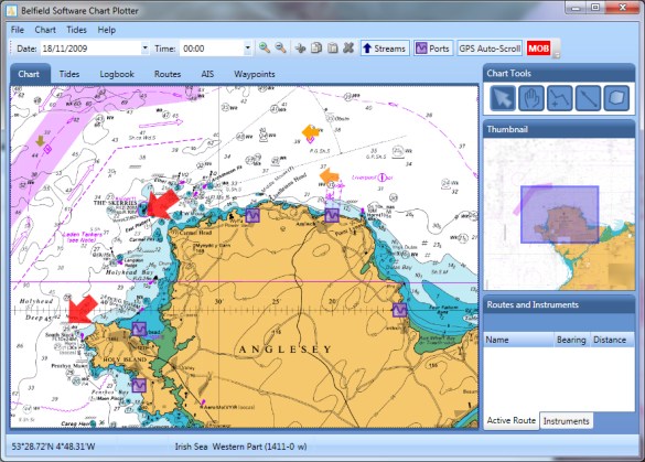 |
Features
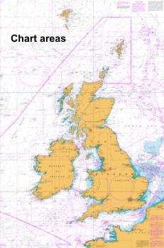
- 800+ UK Ireland, Channel Belgium and Holland Raster Charts
- Routes, planning and monitoring.
- Waypoints, MOB
- Tides: tidal graphs, tables and stream information.
- Quick and easy scrolling and zooming to charts.
- GPS and boat instrument input to display: position, heading, COG, SOG, XTE, depth, wind, water temp.
- AIS: ships position, bearing, distance to, details. This requires input from an AIS receiver.
- Logbook, entries can be made automatically and by user input.
- Tracking of path.
- Marking chart areas, warning either entering or leaving user designated area, useful for anchor watch and
- passage planning
- Bearing and direction lines, draw as you would on a paper chart to assist with navigational planning
----------------------------------------------------------------------------------------------------
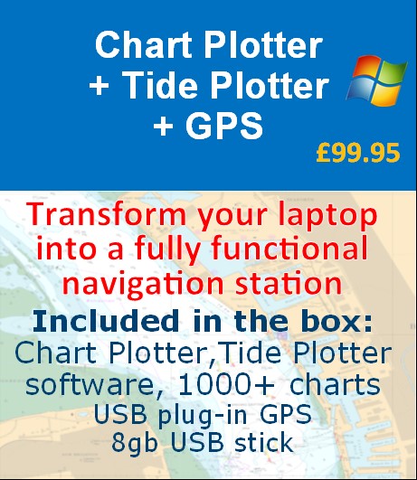
We also have a special package price, Transform your Laptop into a navigation station for less than £100 (postage free)
This includes: Chart Plotter, 1000+ charts, Tide Plotter and a USB GPS. Use your laptop on the boat for navigation, and at home for all your passage planning.
Please note downloads can be saved onto a memory stick
| Quantity | Item | Unit Price |
|---|